SMITHSONIAN ENVIRONMENTAL RESEARCH CENTER
How Much Can Wetlands Fight Climate Change? A New Carbon Atlas Has The Answers.
The Coastal Carbon Atlas and Library map how wetlands store carbon around the world—and put open data to work for the environment.
:focal(1885x1266:1886x1267)/https://tf-cmsv2-smithsonianmag-media.s3.amazonaws.com/filer_public/af/fe/affe11fe-7699-4f36-ac47-e4469f878132/massachusetts_wetland_usfws.jpg)
When Superstorm Sandy reached New York on Oct. 29, 2012, it pummeled the coastline with 80 mile-per-hour winds, flooding streets and subway tunnels. Leaving over $70 billion of destruction across its entire path, Sandy ranks among the costliest natural disasters in U.S. history. But in the northeastern U.S, coastal wetlands prevented an estimated $625 million in damage.
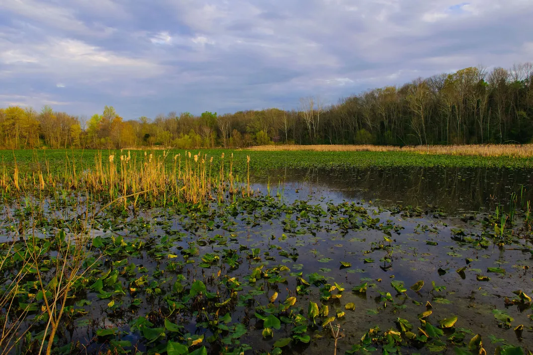
The world needs wetlands to protect us from climate change, and not only from extreme weather. Coastal wetlands are champions at storing carbon in their soils—231 metric tons per hectare on average, according to one estimate.
“Wetlands are pulling a lot of weight for the given amount of area that they take up on the planet,” said Jaxine Wolfe, a research technician with the Smithsonian Environmental Research Center (SERC). “And so there’s a lot of excitement about leveraging these ecosystems for the mitigation of climate change effects. You can do a lot by conserving a particular wetland or restoring it."
“The conservation of wetlands, while it might have global effects, also has the most localized benefits,” said fellow data technician Henry Betts, citing examples like sustaining fisheries and recreation. “Keeping them healthy and growing can benefit people directly in their everyday lives.”
Wolfe and Betts work on a team illuminating the unique powers of wetlands. Last December, the team unveiled an online database centered on how wetlands store carbon worldwide: The Coastal Carbon Atlas and Library. It contains data from nearly 15,000 soil cores from every continent except Antarctica. Like a true public library, the data are freely available to everyone. And it’s revolutionizing our ability to make predictions about wetlands and climate change.
Carbon Meal Kits
The team’s leader is wetland ecologist Jim Holmquist. Holmquist spearheaded the effort at SERC four years ago. Back then, scientists knew wetlands were major carbon sinks, but precise data were hard to find.
The timing couldn’t have been more critical. Under the Paris Agreement, nations must outline exactly how they will slash or offset greenhouse gas emissions. Many nations are relying on wetlands to shoulder part of the load. But no two wetlands are identical. Without country-specific data, governments are often left groping with regional or even global averages.
“Certain countries right now could be greatly overestimating or greatly underestimating the amount of carbon in their soils, simply because they're using a single average,” Holmquist said.
That’s where the true worth of the atlas and library lies. All data are raw, original values, freeing scientists to do any calculations they like without wondering where the numbers came from. Holmquist views it as supplying raw ingredients for researchers to create whatever recipes their communities need.
“This is a meal kit service rather than a restaurant,” he explained.
However, it’s not enough to know how much carbon wetlands store now. To plan for a changing climate, we also need to know how much they will store in the future. Holmquist and others are studying how much faster—or slower—different places accumulate carbon. Some places we rely on as carbon banks now may not be reliable later on.
“A lot of these places, we project coastal wetlands will collapse in response to sea level rise, and these stocks will be big carbon bombs,” Holmquist said. And the climate clock is ticking.
Disrupting the Blue Carbon Market
Meanwhile, the market has begun catching up to wetlands’ value for people and economies. Maryland, where SERC and the Coastal Carbon Library are based, is pioneering new ways to make wetland conservation profitable.
“Blue carbon”—the name for the precious carbon wetlands store—is among many benefits often overlooked, according to Elliott Campbell of the Maryland Department of Natural Resources.
“The economy is not directly putting a value on it, because it doesn't exist within a traditional market,” he said.
Campbell drew on the Coastal Carbon Library when preparing a blue carbon study for the state, looking at how much carbon Maryland could save by restoring wetlands—or lose by destroying them.
And just two years ago, Maryland passed the Conservation Finance Act of 2022. The law created a “pay for success” program, the first conservation law like it in the U.S. It encourages private investors to finance conservation projects like wetland restoration. After completion, the state repays investors based on tons of carbon stored or other measurable ecosystem services.
But the law only works with solid data, which the Coastal Carbon Library can help provide.
“If we don't have strong science supporting the market mechanism, then how do we know we really are paying for something that's real?” asked Rachel Lamb, senior climate advisor for the Maryland Department of the Environment. “Good science is critical.”
Representation Matters
At the time of this posting, the Coastal Carbon Atlas had data from 14,975 soil cores around the globe. The team is constantly seeking to add more, to fill in gaps in coverage.
For example, the initial version released in December 2023 had just under 10,000 cores. Roughly half the data came from the U.S. alone. The team has updated it twice since then, and they don’t plan to stop anytime soon. Now, only a third of the data is from U.S. soils.
“We definitely don't have enough data on tropical or Arctic marshes,” said Tania Maxwell of Austria’s International Institute for Applied Systems Analysis. Maxwell assembled data from over 2,000 sites, many outside North America, during a University of Cambridge fellowship. Those data joined the library and atlas in the most recent update on March 29. But cold hard data from the frigid north may have to wait.
“The Arctic is a hard place to study,” Maxwell said. “Having done field sampling and know people who've sampled in the Arctic, it's a huge, huge, huge endeavor.”
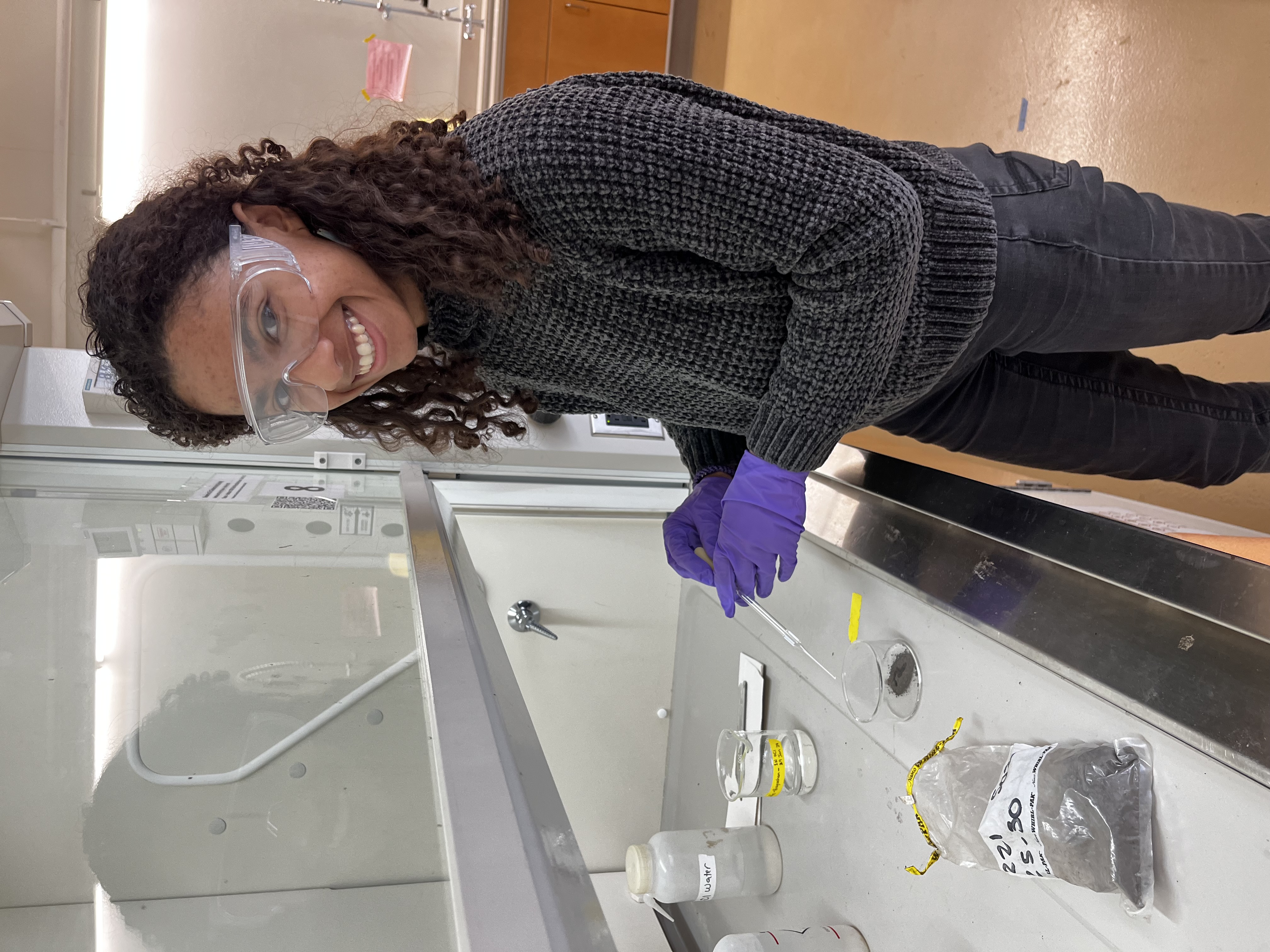
Including more data from developing nations is another high priority. Wolfe spent the past year conducting trainings in Ghana and Costa Rica, while fellow SERC technician Rose Cheney gathered data from South Africa. Though many scientists are interested in sharing data, the barriers can be legion: time, skills, language, whether another government owns the data and concern about credit.
At its heart, the database is built on trust, Wolfe said. She and Cheney emphasize consistently that the original authors get credit for any data they share. Anyone who uses the data likewise must credit them.
“Even though this is hosted through and served through the Coastal Carbon Library and Atlas, this is still their work,” Cheney said. “We just are trying to help them make it more accessible."
Sometimes just having the right equipment can pose a problem. To help on that front, SERC and Silvestrum Climate Associates are processing hundreds of soil samples from Sierra Leone.
As the team prepares for the next release, the tropical representation gap is already closing, Holmquist said. In the meantime, he hopes governments of every level—local, state and federal—can use the data to incentivize wetland conservation.
“A lot of people think blue carbon, they think, oh, we can get carbon credits. Carbon's money,” Holmquist said. “But I think of carbon as life. I think of it as a structural component of the ecosystem that we need to understand, to project how these things are going to survive.”
Note: This article has been updated. It originally said the Coastal Carbon Library and Atlas had data from 9,804 soil cores at the time of writing. However, on the same date the article was published (March 29), the Coastal Carbon team did an update that brought the total to 14,975. This helped increase the representation of soils from outside the United States, from approximately 50% to approximately 67% of the data.